|
 |
Get your picture taken by the google satellite. Here's how.
|
|
|
|
|
Addicted to MacNN
Join Date: Dec 1999
Location: Tampa, Florida
Status:
Offline
|
|
I thought we would need to become astronomy buffs and math geniuses, but no... Geo Eye 1's trajectory is easily available.
(1) First, go to Satellite GEOEYE 1 visible and not visible passes/predictions above your observing place find the satellite pass with the best elevation.
(2) Ten minutes before the time you determined, go to the street or a roof and build/paint something you want in Google Earth.
(3) Wait for the 15 minutes and the satellite will have passed. Disassemble your creation.
(4) Go to safari and hit F5 on your location in google maps until you see your awesome picture. Probably you can wait until the satellite is about to pass at a high elevation, and your picture is about to be over-written.
(5) Email your mom with the link, commenting on how cool it is.
(6) Send my regards too.
The first one to get anything deliberately photographed by the google sat get 100 internets.
|
|
|
| |
|
|
|
|
|
|
|
Clinically Insane
Join Date: Nov 1999
Location: 888500128, C3, 2nd soft.
Status:
Offline
|
|
F5 doesn't actually do anything in Google Maps.
|
|
|
| |
|
|
|
|
|
|
|
Addicted to MacNN
Join Date: Apr 2005
Status:
Offline
|
|
I had no idea that satellites moved so fast.
|
|
|
| |
|
|
|
|
|
|
|
Addicted to MacNN
Join Date: Sep 2000
Location: Isle of Manhattan
Status:
Offline
|
|
I had no idea that Google updated their images so frequently.
|
|
"Faster, faster! 'Till the thrill of speed overcomes the fear of death." - HST
|
| |
|
|
|
|
|
|
|
Mac Elite
Join Date: Sep 2006
Location: Back in the Good Ole US of A
Status:
Offline
|
|
Originally Posted by osiris 
I had no idea that Google updated their images so frequently.
I don't think they do. The images where I live are about 4 years old.
|
|
|
| |
|
|
|
|
|
|
|
Games Meister  Join Date: Aug 2009
Location: Eternity
Status:
Offline
|
|
Don't you live in a third world country?
|
|
|
| |
|
|
|
|
|
|
|
Mac Elite
Join Date: Jan 2003
Location: San Diego
Status:
Offline
|
|
Google maps does not update every 15 minutes. In reality it’s more like every few months.
|
|
|
| |
|
|
|
|
|
|
|
Addicted to MacNN
Join Date: Dec 1999
Location: Tampa, Florida
Status:
Offline
|
|
DR is no 3rd world country by a long shot, but is not Google's main market either.
It is pretty incredible that the satellite does a high elevation flyby as often as it does, even with its low earth orbit.
|
|
|
| |
|
|
|
|
|
|
|
Posting Junkie
Join Date: Apr 2007
Location: Iowa, how long can this be? Does it really ruin the left column spacing?
Status:
Offline
|
|
That's odd - my development has been built in the last few years, and Google maps hasn't had my neighbors' houses or the roads leading to them since I moved in. I just checked and everything's there now, minus the road that the neighboring gas station put in two months ago.
|
|
|
| |
|
|
|
|
|
|
|
Games Meister Join Date: Aug 2009
Location: Eternity
Status:
Offline
|
|
Originally Posted by The Godfather
DR is no 3rd world country by a long shot, but is not Google's main market either.
You're right, I'm thinking of Haiti. But the latter part made my point for me.
|
|
|
| |
|
|
|
|
|
|
|
Addicted to MacNN
Join Date: Dec 1999
Location: Tampa, Florida
Status:
Offline
|
|
Originally Posted by iMOTOR
Google maps does not update every 15 minutes. In reality it’s more like every few months.
Probably the satellite doesn't have enough bandwidth to pass the high resolution imagery of everything captured by the camera, and the satellite admin must select what to download from the 128GB SSD.
|
|
|
| |
|
|
|
|
|
|
|
Mac Elite
Join Date: Jan 2003
Location: San Diego
Status:
Offline
|
|
Are you serious or is this a joke?
Google does not even use satellite images for the zoomed in view, you only see satellite imaging in the zoomed out view. The zoomed in view (what you see when the zoom slider is towards the top) is actually aerial photography and is not updated every 15 minutes or even every month for that matter.
|
|
|
| |
|
|
|
|
|
|
|
Mac Elite
Join Date: Oct 1999
Location: Montréal, Québec (Canada)
Status:
Offline
|
|
Anyway I think most content from Google Maps come from a plane and not by satellite? I remember reading an article about the company who does this.
|
|
|
| |
|
|
|
|
|
|
|
Games Meister Join Date: Aug 2009
Location: Eternity
Status:
Offline
|
|
I can't wait til people spot the google plane and prank it while handgliding and parachuting.
|
|
|
| |
|
|
|
|
|
|
|
Clinically Insane
Join Date: Jun 2001
Location: planning a comeback !
Status:
Offline
|
|
Originally Posted by The Godfather
Probably the satellite doesn't have enough bandwidth to pass the high resolution imagery of everything captured by the camera, and the satellite admin must select what to download from the 128GB SSD.

-t
|
|
|
| |
|
|
|
|
|
|
|
Clinically Insane
Join Date: Nov 1999
Location: 888500128, C3, 2nd soft.
Status:
Offline
|
|
Originally Posted by Kerrigan
I had no idea that satellites moved so fast.
That depends on the orbit.
Geostationary satellites (most communications and all positioning sats) don't appear to move at all.
BTW, it would be pretty funny if this worked. People would constantly update with night-time/cloudy photographs.
Google does indeed buy the zoomed-in imagery from aerial photography companies.
|
|
|
| |
|
|
|
|
|
|
|
Clinically Insane
Join Date: Jun 2001
Location: planning a comeback !
Status:
Offline
|
|
Originally Posted by Spheric Harlot
That depends on the orbit.
Geostationary satellites (most communications and all positioning sats) don't appear to move at all.
i.e., it's the earth moving, not the satellite moving.
-t
|
|
|
| |
|
|
|
|
|
|
|
Clinically Insane
Join Date: Nov 1999
Location: 888500128, C3, 2nd soft.
Status:
Offline
|
|
I.e., it's BOTH moving, at the same relative speed.
|
|
|
| |
|
|
|
|
|
|
|
Clinically Insane
Join Date: Jun 2001
Location: planning a comeback !
Status:
Offline
|
|
Originally Posted by Spheric Harlot
I.e., it's BOTH moving, at the same relative speed.
In the case of the geostationary satellites, yes, in the case of the Google satellite, no.

-t
|
|
|
| |
|
|
|
|
|
|
|
Clinically Insane
Join Date: Nov 1999
Location: 888500128, C3, 2nd soft.
Status:
Offline
|
|
In the case of the geocartography sat, it's the satellite that's moving - in effect.
Of course, both Earth and satellite are moving, but the satellite's moving a lot faster, and in a "lopsided" orbit (i.e. not equatorial).
|
|
|
| |
|
|
|
|
|
|
|
Moderator  Join Date: Apr 2000
Location: Gothenburg, Sweden
Status:
Offline
|
|
Satelites that fly low enough to take any sort of decent pictures move faster than the Earth revolves. The lower you fly, the faster you have to move to avoid losing height.
|
|
The new Mac Pro has up to 30 MB of cache inside the processor itself. That's more than the HD in my first Mac. Somehow I'm still running out of space.
|
| |
|
|
|
|
|
|
|
Posting Junkie
Join Date: Jan 2006
Location: Colorado
Status:
Offline
|
|
Originally Posted by FireWire
Anyway I think most content from Google Maps come from a plane and not by satellite? I remember reading an article about the company who does this.
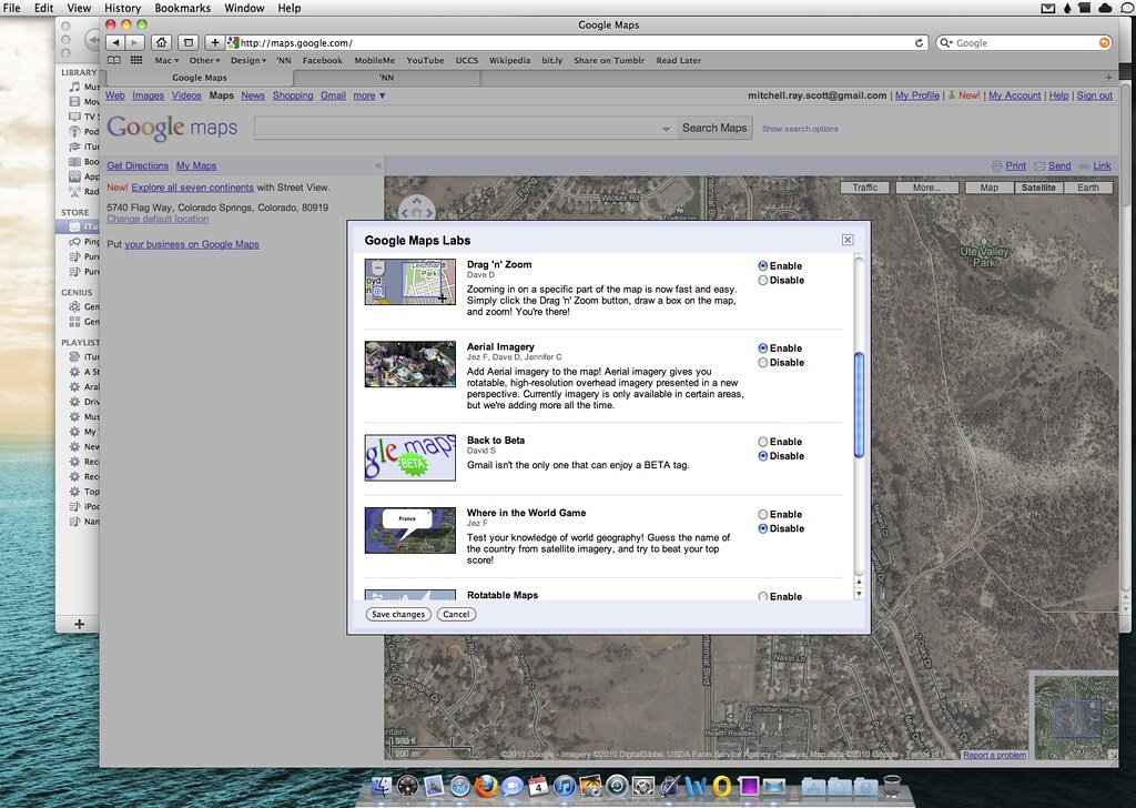
No, it's all satellite unless you turn on aerial view from Google Labs.
|
|
|
| |
|
|
|
|
|
|
|
Clinically Insane
Join Date: Nov 1999
Location: 888500128, C3, 2nd soft.
Status:
Offline
|
|
Originally Posted by imitchellg5
No, it's all satellite unless you turn on aerial view from Google Labs.
False.
This is unverfied wikipedia, but it jibes with what I've read from reputable sources in the past - there was some legal brou-ha-ha a few years back when Google licensed usage of its maps imagery, only to be slapped with a lawsuit by the company that provided them with the aerial photography and had licensed the content to Google - and Google only.
Most land areas are covered in satellite imagery with a resolution of about 15 m per pixel. This base imagery is 30m multispectral Landsat which is pansharpened with the 15m [panchromatic] Landsat imagery. However, Google is actively replacing this base imagery with 2.5m SPOTImage imagery and several higher resolution datasets mentioned below. Some population centers are also covered by aircraft imagery (orthophotography) with several pixels per meter. Oceans are covered at a much lower resolution, as are a number of islands; notably, the Isles of Scilly off southwest United Kingdom, were at a resolution of about 500 m or less, however this has now been addressed.
Google has resolved many inaccuracies in the vector mapping since the original public release of the software, without requiring an update to the program itself. An example of this was the absence from Google Earth's map boundaries of the Nunavut territory in Canada, a territory that had been created on April 1, 1999; this mistake was corrected by one of the data updates in early 2006. Recent updates have also increased the coverage of detailed aerial photography, particularly in certain areas of western and central Europe.
In other words, if it's higher-rez than 15m/pixel, it's probably aerial photography unless it's been recently updated by SPOTimage sat photography.
|
|
|
| |
|
|
|
|
|
|
|
Moderator Emeritus
Join Date: Mar 2004
Location: Copenhagen
Status:
Offline
|
|
Originally Posted by iMOTOR
Are you serious or is this a joke?
Google does not even use satellite images for the zoomed in view, you only see satellite imaging in the zoomed out view. The zoomed in view (what you see when the zoom slider is towards the top) is actually aerial photography and is not updated every 15 minutes or even every month for that matter.
… nor every year, or hardly even decade (it would seem).
Where I live, which is on the outskirts of a city with just over a million inhabitants, the images used for Google Map are about six years old. For example, Amager Strandpark, which was finished about five years ago, is not there at all—there’s just a gigantic building site with lots of sand being pushed around by machines everywhere.
On the up-side, though, I’m featured on the StreetView images of my street, even if I am sort of sliced in two.
|
|
|
| |
|
|
|
|
|
|
|
Addicted to MacNN
Join Date: Dec 1999
Location: Tampa, Florida
Status:
Offline
|
|
|
|
|
|
| |
|
|
|
|
|
|
|
Posting Junkie
Join Date: Jan 2006
Location: Colorado
Status:
Offline
|
|
Originally Posted by Spheric Harlot
False.
What you say makes sense, but why is there the option to enable it? It was disabled by default? 
|
|
|
| |
|
|
|
|
|
|
|
Clinically Insane
Join Date: Jun 2001
Location: planning a comeback !
Status:
Offline
|
|
Originally Posted by imitchellg5
What you say makes sense, but why is there the option to enable it? It was disabled by default?
Aerial View is merely another closeup view, taken at an angle.
Same as high res "satellite" view, it's taken from a plane.
-t
|
|
|
| |
|
|
|
|
|
|
|
|
|
|
|
|
 
|
|
|
Forum Rules
|
|
|
|
You may not post new threads
You may not post replies
You may not post attachments
You may not edit your posts
|
HTML code is Off
|
|
|
|
|
|
|
|
|
|
|
|